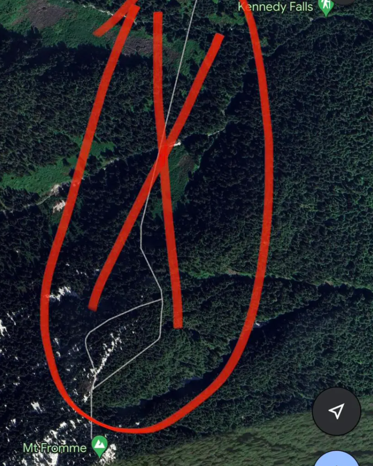
A hiker in Canada faced a dangerous situation when he was stuck on a cliff after following the instructions of Google Maps to reach the summit of Mt. Fromme, a peak that is located at a place that is to the north of Vancouver.

He had been following a supposed trail in British Columbia, which turned out to be a fake trail. Unfortunately, he found himself stranded on the mountainside and unable to get out of the cliff.
According to authorities, it was the second time in two months that a hiker got lost when they relied on Google Maps, the high-tech map app.

Although Google Maps helps us a lot in giving directions; however, sometimes it also causes mistakes, even fatal ones.
Vancouver-based North Shore Rescue shared in a Facebook post: "To be clear, the area in question has no trails and is very steep with many cliff bands throughout. In the preceding weeks, NSR has placed signage in the area warning of this. The area is dangerous, as it was the sight of a previous fatality."

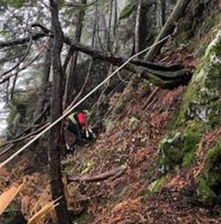
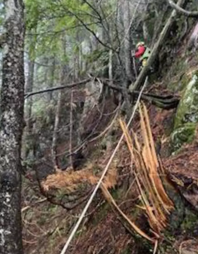
After locating the lost hiker, a pair of rescuers were brought in by air and dropped into the heavily forested area to save him.
Authorities also reported that the hiker took his journey without any specialized hiking equipment, such as a flashlight, and just had poor footwear for his trek.
Google Maps has removed the nonexistent trail after discovering a hazardous glitch, as stated by NSR in a Monday update.

It is supposed that Google Maps is not appropriate for hikers because the weak network signal will affect route finding. Besides, electronic devices may also unexpectedly run out of battery.
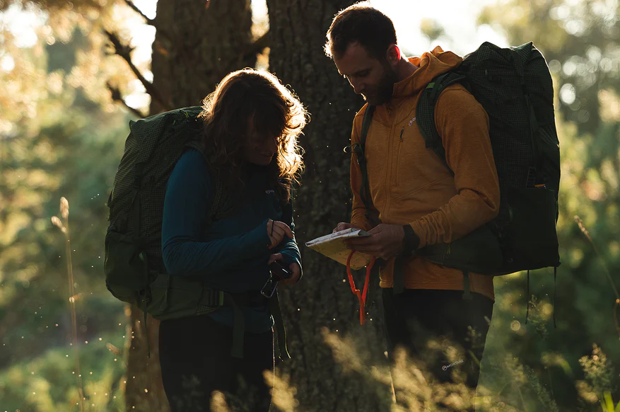
Instead, hikers are advised to use a paper map and a compass in their trek.
NSR has also advised people to avoid Google Maps for hiking and instead use specialized apps such as CalTopo or Gaia.


